AI for an equitable world
Applying new tools to decades of expertise in geospatial analysis and sustainable development


Overview
Artificial intelligence (AI) is poised to transform the global economy and holds immense promise for improving human development. AI can help fill data gaps in developing regions, generating better-than-ever estimates of poverty, health, and living conditions from satellite imagery and big data sources. Yet these tools risk introducing biases, and AI's benefits—and costs—are distributed unevenly.
AidData is at the forefront of exploring how to apply AI in responsible ways to some of the world's most pressing development challenges, including by:
- Evaluating AI tools used by farmers to comply with global deforestation regulations
- Pioneering research on gender bias in AI-driven poverty prediction
- Integrating cutting-edge drone technologies and machine learning (ML) techniques into impact evaluations of development programs
- Democratizing satellite-enabled insights through initiatives like GeoField, so those most affected can improve their livelihoods
Accessible geospatial insights using LLMs
We're piloting ways to extend the benefits of geospatial analysis to a wider audience
Large language models (LLMs) that can interpret and generate human-like text are driving transformative changes in the agriculture sector, including for commercial farming in the U.S.—yet only a handful of efforts have focused on addressing the needs of farmers in developing countries by using LLMs and chatbots.
AidData is uniquely situated to fill this gap, building on a decade of experience in leveraging cutting-edge AI tools for real-world applications and developing accessible geospatial data platforms like GeoQuery.
GeoAI, or artificial intelligence + geospatial data, usually requires highly specialized knowledge and computing power to effectively use. While GeoAI can be immensely powerful, its use is limited to those specialists capable of working with big geospatial data sources to train and refine models.
Rather than attempting to develop and train AI tools to understand raw geospatial data, AidData is leveraging the growing reasoning capacity of LLMs to explore geospatial relationships and make these insights available to a far greater audience.
By incorporating geospatial information without expensive hardware requirements, AidData aims to put the power of these tools directly in the hands of local personnel supporting smallholder farmers and communities—where it can make a true difference addressing critical needs.
Learn how AidData is making geospatial analysis accessible through LLMs: Concept Note
Case Studies
Evaluating climate adaptation programs with earth observation + AI
GeoField, an AidData-led project, was awarded nearly $4.75 million for innovative agriculture and climate research
Government investments for climate-smart agriculture nearly doubled last year, as countries responded to food system disruptions driven by extreme weather events. As policymakers dedicate more funding for programs to help farmers adapt, it will be paramount to discover what works—and what doesn’t.
Through the GeoField Initiative, AidData and our partners are leveraging new techniques to evaluate climate-sensitive agricultural interventions with the highest accuracy and lowest cost. Our use cases are pioneering novel approaches that help organizations invest and measure the impacts of these programs, including by:
- Using machine learning to identify where and how rivers in Nepal shift and flood, following an anti-erosion sugarcane planting program
- Testing whether machine learning can detect when flood-resistant rice is planted in Bangladesh
- Applying machine learning to track the adoption of rainwater harvesting techniques in Niger that reverse desertification

Analyzing digital compliance tools for anti-deforestation efforts
We're studying the accuracy and cost of AI-driven tools used to comply with sweeping deforestation rules
The growing use of AI and satellite imagery to monitor agricultural supply chains offers both promise and peril. Under new regulations like the EU Deforestation Regulation (EUDR), smallholder farmers of commodities like coffee, palm oil, rubber, wood, soy, and beef must prove that their plots are deforestation-free.
Yet, many AI-powered compliance tools function as costly black boxes. Regulatory bodies, importer/exporter organizations, unions, and individual farmers need insights into these new tools and services.
AidData is bringing over a decade of technical expertise to independently validate these tools, with pilot projects underway in Honduras and Ethiopia to help farmers, regulators, and exporters make informed decisions.

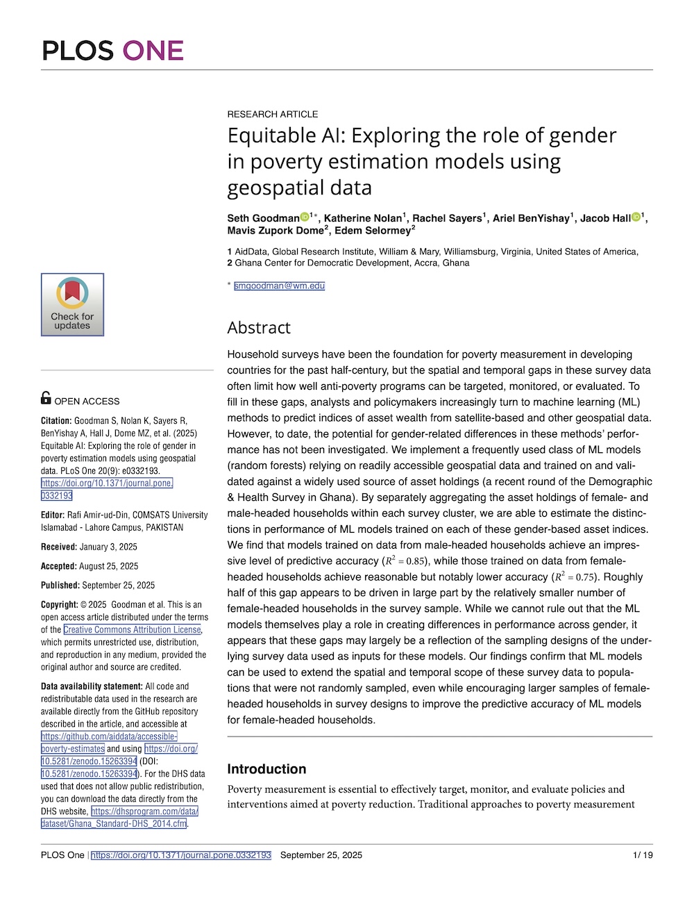
Understanding gender bias in AI applications
We're working to increase transparency and accountability in AI for global development
In partnership with the Ghana Center for Democratic Development (CDD-Ghana), AidData has worked to evaluate the potential for gender bias in wealth estimates generated using AI.
Funded through USAID’s Equitable AI Challenge, our project addressed a critical problem: how to increase the accountability and transparency of AI systems used in global development contexts.
Leveraging our expertise in AI, geospatial data, and household surveys, plus CDD-Ghana’s knowledge of the local environment, we produced a novel public good that informed discussion on the growing use of AI in development.

Enabling better research on migration with AI tools
We're creating a one-stop-shop to advance migration scholarship, policymaking, and practice
As migration research rapidly expands across diverse disciplines, keeping abreast of current data, methods, and findings becomes increasingly challenging.
AidData, in collaboration with Aptima, is filling the gap with an innovative online migration research platform designed to centralize resources and facilitate scholarly collaboration. The platform's development was informed by a survey of nearly 2,000 migration researchers worldwide.
Leveraging advanced AI, including large language models, the platform will offer curated access to migration data, an AI-enabled literature navigator, collaborative tools, training modules, and networking opportunities, built upon AidData’s GeoQuery system.

Predicting the likelihood of conflict deaths using neural networks
We developed a low-cost solution to forecast conflict fatalities from satellite imagery
Humanitarian aid organizations need better forecasts of conflict risks, so they can allocate resources effectively and know when it's safe to send in workers. AidData is working to improve how existing data can be used to train convolutional neural networks (CNNs) to make accurate predictions of the likelihood of conflict deaths at a given location.
Using Nigeria as a case study, AidData researchers developed an algorithm that used satellite imagery from the previous year to predict the risk of conflict fatalities for a given location in the following year, achieving ~80% accuracy.
Read the research: Spatiotemporal Prediction of Conflict Fatality Risk Using Convolutional Neural Networks and Satellite Imagery
Download the data: Nigeria Predicted Surface

Leveraging algorithms to sift through terabytes of deforestation data
We evaluated a global land degradation portfolio to identify what works to reverse environmental harm
The Global Environment Facility (GEF), the world's largest multilateral funder of environmental projects, has worked for years to combat land degradation in forests around the world, and needed to understand where they were succeeding—and why.
To find out, AidData assessed the impact of GEF land degradation projects using cutting-edge machine learning methods.
This study is the first of its kind to use machine learning to not only sift through terabytes of satellite data and explicitly tie projects combating land degradation to positive changes in the environment, but also to mine the data to find insights for future program design—helping to inform the GEF's planning when it sought new funding during its annual replenishment round.

Improving the quality of AI-generated poverty estimates
We're leveraging machine learning methods to produce next-gen measures of poverty in developing contexts
Our data on poverty is too limited. Surveys are expensive and are not available for all populations, while proxies for poverty like nighttime lights are imperfect and struggle to accurately measure the poorest areas. AidData is expanding upon methods pioneered by Stanford researchers to overcome these challenges and produce next-gen measures of poverty by leveraging machine learning methods.
To better measure the impact of a Millennium Challenge Corporation program in Ghana on access to markets and economic growth, AidData applied convolutional neural networks to survey and satellite data to generate more accurate estimates of changes in average household wealth. The resulting poverty estimates were used to compare changes over time between regions near road improvement projects and control locations.
Download the beta data: Ghana Predicted Surface


Featured Reports


Research Team
For technical or research inquires, contact:


For partnership and media inquiries, contact:

Alex Wooley
Director of Partnerships and Communications