Overview
AidData's pioneering geospatial impact evaluation (GIE) methodology can rigorously evaluate the impacts and cost-effectiveness of development interventions and large investment portfolios. Our GIE methods leverage readily available data, like satellite observations or household surveys, to establish a reliable counterfactual for measuring impacts—at a fraction of the time and cost of a “traditional” randomized controlled trial (RCT).
Like RCTs, GIEs can estimate the net, attributable effect of a specific development program by comparing similar groups whose only difference was exposure to the program (or treatment). Unlike RCTs, GIEs use precise geographic data to establish this counterfactual retroactively, eliminating the need to assign program participants into randomized treatment and control groups.
Sections
For partnerships and media queries, contact:

Alex Wooley
Director of Partnerships and Communications
Catalyzing Next-Generation Geospatial Impact Evaluations (GIEs)
Geospatial impact evaluation (GIE) methodologies have continuously improved since AidData launched the original GIE Primer. In 2022, our GeoQuery tool surpassed 20,000 requests for custom geospatial data extractions. Together with DevGlobal and Mercy Corps, and supported by the Gates Foundation, we started the GeoField initiative to make impact evaluations and climate sensitive agriculture more effective through Earth observation. To gain an introduction to the state of the art in impact evaluations, check out our free online course, Toolkit for Agricultural Geospatial Impact Evaluations.


Case Studies
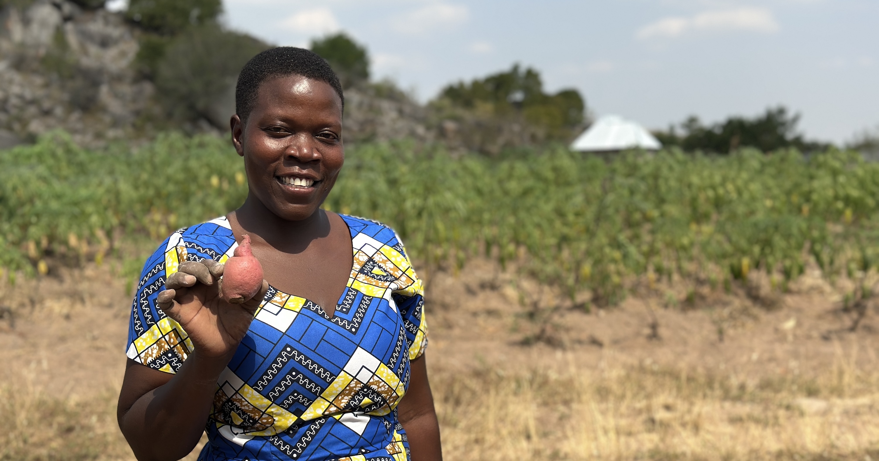
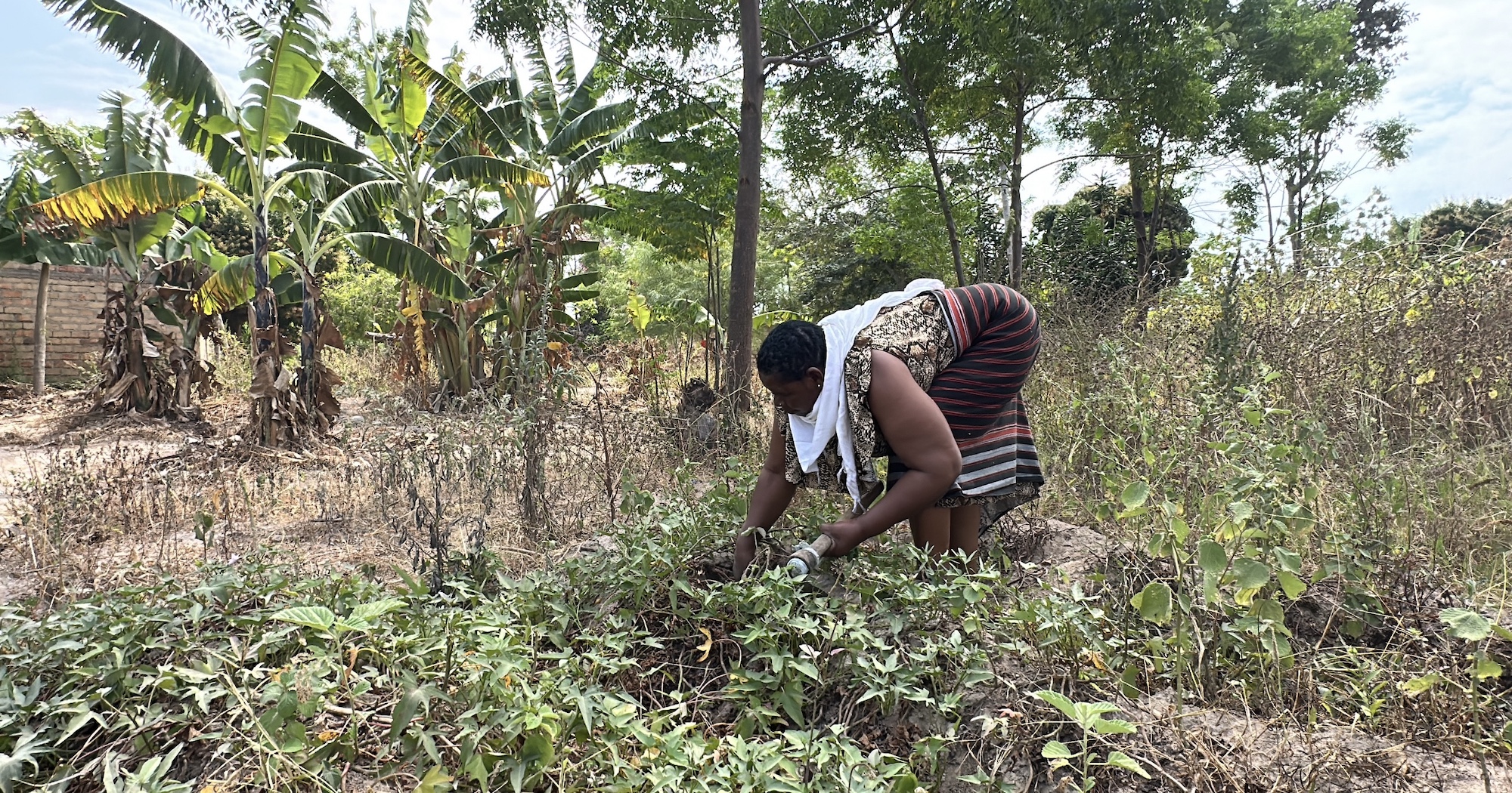
Agriculture, Climate and the Environment
Aid campaigns have mobilized billions of dollars to tackle pressing issues related to agriculture, climate and the environment (ACE). But decision-makers need actionable insights based on reliable science. Our research is already informing ACE efforts at a global scale. We've helped the Global Environment Facility to put a quantifiable value on their land preservation efforts, informing their future funding rounds; we've evaluated the effectiveness of the World Bank’s environmental safeguards; and we've put a spotlight on the impacts of Chinese-funded infrastructure in ecological hotspots.
Health
AidData comes alongside its partners to bolster the impact of their health programs. Whether our partners aim to reduce HIV and malaria rates, combat infectious diseases, or improve maternal and child health, AidData uses its data, tools, and methods to help identify populations in need, strengthen national health systems, and evaluate project impacts on health outcomes.
Infrastructure
GIEs enable rigorous impact evaluation of infrastructure projects where randomized control trials are infeasible. GIEs use high-frequency, high-resolution satellite observations to measure changes over time in many locations, and they can be implemented remotely and retrospectively. This allows AidData to conduct rigorous impact evaluations at a fraction of the time and cost of traditional RCTs, providing timely insights about where infrastructure projects are likely to be more or less effective.
Machine Learning
All data sources have limitations. When it comes to measuring poverty, surveys are expensive, limited to small sample sizes, and available only for certain geographic points in certain years. AidData is working to improve how existing data can be used to train convolutional neural networks that make more accurate predictions of the likelihood of a death due to conflict at a given location. To make these estimates, the algorithm analyzes landscape features detected from moderate-resolution satellite imagery the previous year.
Benefits of AidData's GIE Methodology
GIEs can be implemented remotely and retrospectively, leveraging existing location-referenced data and generate portfolio-wide insights.
Measure real impact
Geospatial Impact Evaluations measure intended and unintended impacts of development programs. Leveraging readily available data like satellite observations or household surveys, GIE methods establish a reliable counterfactual to measure impact - at a fraction of the time and cost of a "traditional" randomized control trial (RCT).
Methodological rigor
Like RCTs, GIEs can estimate the net effect of a specific program by comparing similar units where the only difference was an intervention, or treatment. Unlike RCTs, GIEs use precise geographic data to establish this counterfactual retroactively, eliminating the need to assign program participants into randomized treatment and control groups within the program design.
Learn more efficiently
GIEs can be completed in a fraction of the time and financial cost of an RCT by eliminating the need for customized data collection in treatment and control groups before, during and after the program.
See portfolio-wide insights
GIE methods are also flexible tools that can either be used to evaluate individual projects or project portfolios. Whereas RCTs are often implemented in narrowly bounded settings, GIEs can be used with data for an entire country (or even multiple countries), which makes it possible to draw conclusions about impacts and cost effectiveness that are broadly generalizable.
Ascertain long-term impact, even in inaccessible places
Additionally, GIEs can be implemented remotely, retrospectively, and affordably, opening up new opportunities to measure long-run programmatic impacts, which is especially useful to evaluators working in conflict and fragile state settings.


How can we better measure development outcomes?
GIE Methodology
Geospatial impact evaluations (GIEs) rely on subnationally geo-referenced intervention, outcome, and covariate data and quasi-experimental methods of causal inference to measure the intended (or unintended) impacts of development programs.
GIEs seek to mimic the conditions of a randomized control trial (RCT) with observational data. RCTs are powerful because they create conditions under which one can reliably ascertain that individuals’ participation in a program was not correlated with their outcomes. GIEs create similar conditions, but without randomly assigning individuals to treatment and control groups.
For our in-depth exploration of GIEs, please see A Primer on Geospatial Impact Evaluations Methods, Tools, and Impact Evaluations.
Using counterfactuals to find impact
The key is making comparisons across individuals who are sufficiently similar to one another and experiencing changes that are otherwise similar. The best way to make such comparisons is to identify comparison individuals who are geographically close to the program participants, but unlikely to be affected by the program’s presence. Doing so requires geographically precise data on programmatic interventions and their intended (or unintended) outcomes. Such data are rapidly expanding in number, scope, periodicity, and availability.
Rather than using randomization to identify counterfactual cases, GIEs seek to achieve a similar result through one of three methods:
- Strategic subsampling of observational data to identify treatment and control cases that are nearly identical but for the presence or absence of the intervention (e.g. propensity score matching)
- Comparing the pre- and post-intervention change in the outcome of interest for a treatment group relative to a control group (e.g. difference-in-differences, fixed effects)
- Exploiting the discontinuity around a geographic cutoff that is “as-if random” (where the treated cases and control cases on either side of the cutoff are extremely similar across pretreatment covariates)
Featured Reports


Featured Blogs


.jpg)

Research Team
For technical or research inquires, contact: